Kirjeldus
Premier Coastal Charts
Industry-leading coverage, clarity and detail with updated coastal charts that feature integrated Garmin and Navionics® content
Auto Guidance¹ technology quickly calculates a suggested route by using your desired depth and overhead clearance
Includes Depth Range Shading for up to 10 depth ranges, enabling you to view your target depth at a glance
Up to 1’ contours provide a more accurate depiction of the bottom structure for improved fishing charts
To give a clear picture of shallow waters to avoid, the Shallow Water Shading allows for shading at a user-defined depth
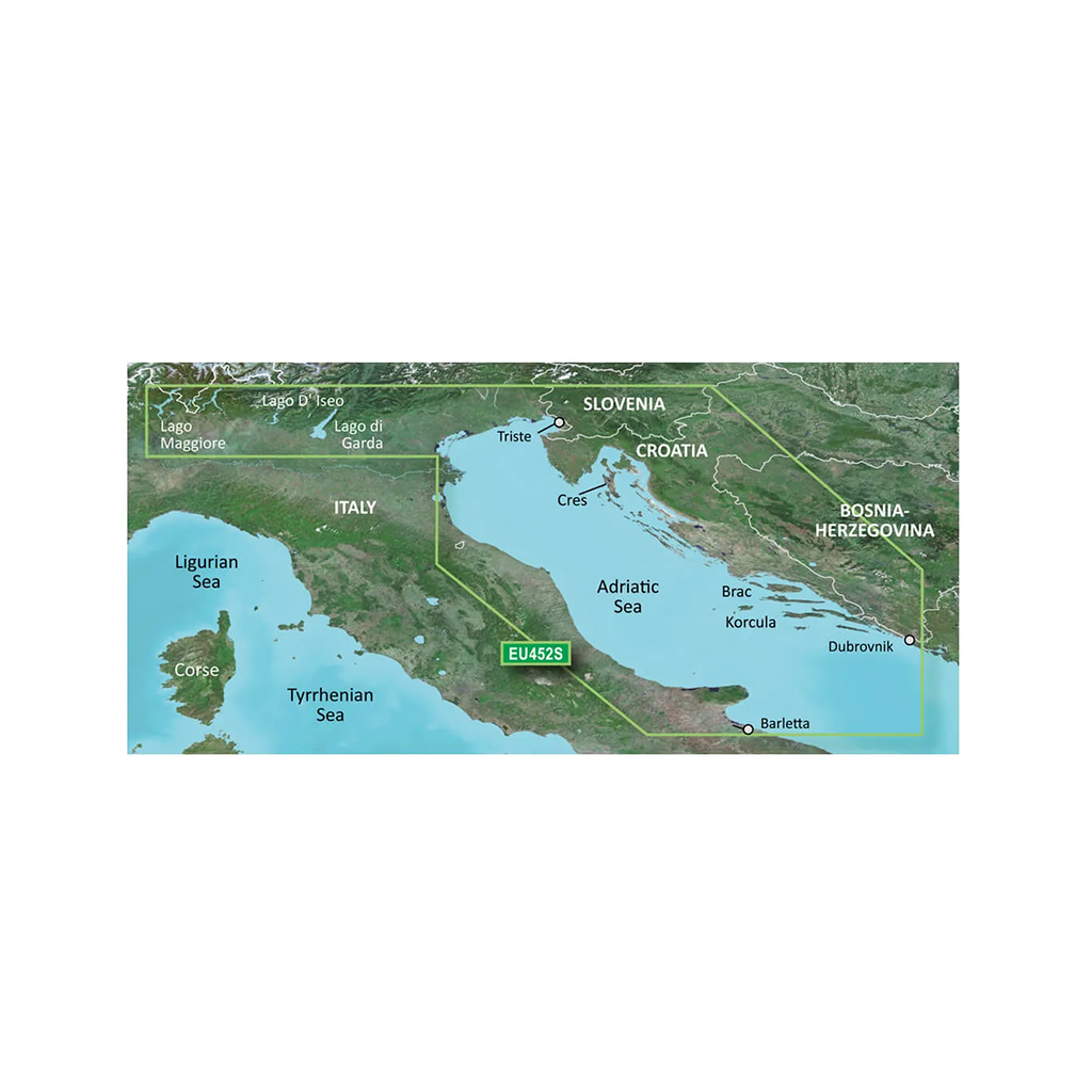
Experience unparalleled coverage and brilliant detail when you’re on the water. BlueChart g3 Vision coastal charts provide industry-leading coverage, clarity and detail with integrated Garmin and Navionics content.
Auto Guidance
Whether you are fishing or cruising, select a spot, and get a route showing you the general path and nearby obstructions at a safe depth
High Resolution Relief Shading
This exceptional shading feature combines color and shadow to give you an easy-to-interpret view of bottom profile, making it easy to find artificial reefs, underwater shelves and more. High-resolution relief shading is available as a free downloadable feature via the ActiveCaptain® app.
Depth Range Shading
This feature displays high-resolution Depth Range Shading for up to 10 depth ranges so you can view your designated target depth.