Kirjeldus
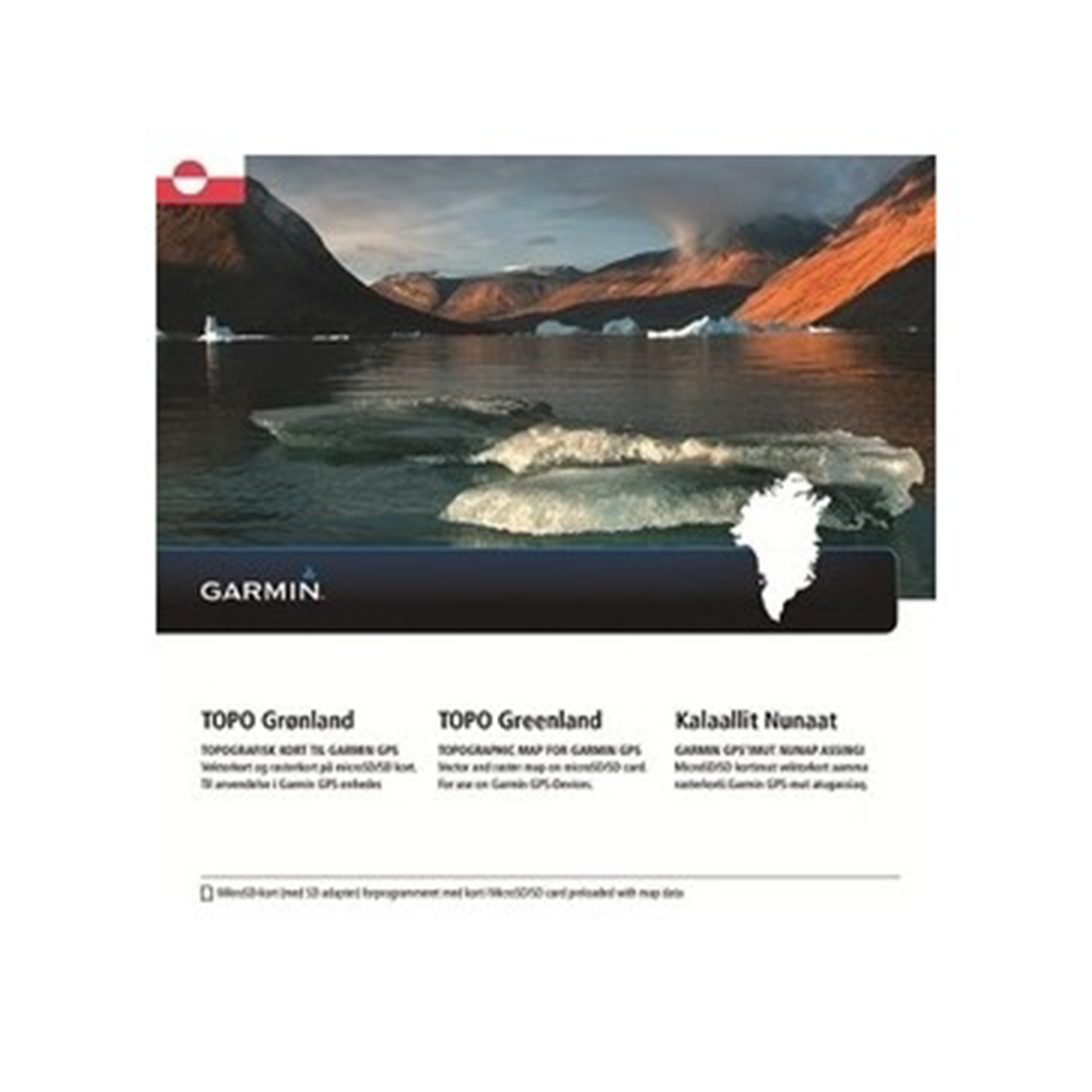
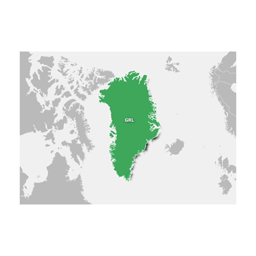
Get ready for your polar adventure in the Artic Frontier with this comprehensive GPS electronic map. Collating map detail from a variety of highly reputable geographic, tourist and hiking sources, including the Danish Geodata Agency, ASIAQ – Greenland Survey, Compukort/Fleming Nørgård & Visit Greenland and Greenland Ice Mapping Project (GIMP), this map will allow orienteering and navigating in the toughest conditions, relying on the sturdiness of Garmin GPS devices even throughout the cold and snowy weather.
Integrates all the best maps for Greenland in 1 product, merging the intelligence of vector search for locations and points of interest (POIs) together with the paper map appearance of raster data
Displays vector maps at a scale of 1:50,000 in towns and settlements and 1:250,000 for regions outside the most populated areas; also includes a limited, but routable, road network
Shows raster maps at a scale between 1:100,000 and 1:500,000, providing orienteering reference for the entire country; also includes specialized hiking routes
Offers more than 7,500 POIs, including beds and breakfasts, hotels, campgrounds, hospitals, shopping, leisure centers and more
Displays hydrography of streams, rivers, lakes and bays
Shows mountain summits, glaciers, height contours in 100 meter intervals and a digital elevation model (DEM) for route profile preview using our free downloadable trip-planning software, BaseCamp™


 Kuumakse al.