Kirjeldus
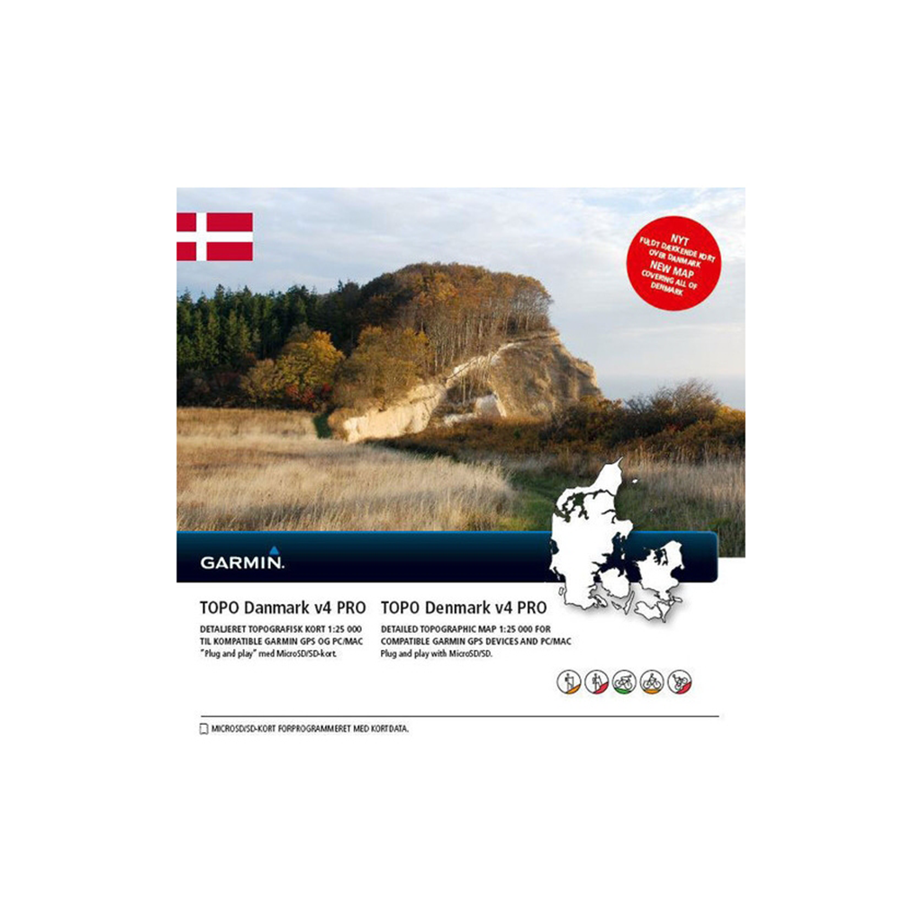
This topographic map for the Denmark region contains roads, paths, points of interest, elevation contours, elevation shading, maps of lakes, rivers, vegetation areas and much more. It is by far one of the most detailed topographic maps for the Denmark region.
ActiveRouting for adjusting and planning routes for the entire network of roads, paths and paths. Activity-specific routing can be used in BaseCamp and on your compatible GPS device.
Displays updated 1:25,000 scale topographic maps for the entire country provided by the Danish Survey Office GST.
More than 180 marked trails provided by the Danish Heart Foundation to support training on a 5,000 km network of routes for long-distance cycling.
More than 2 million searchable POIs for business or leisure in more than 100 categories, e.g. B. searchable geographical points.
Displays a digital elevation model for route profile viewing and planning, as well as elevation contours at a distance of 1 meter each.
Note: ActiveRouting is supported by BaseCamp on Windows/Mac as well as Montana, Monterra, Edge 810/1000/Explore 1000, GPSMAP 62/64 and Oregon 7xx/6xx/x50 series devices.
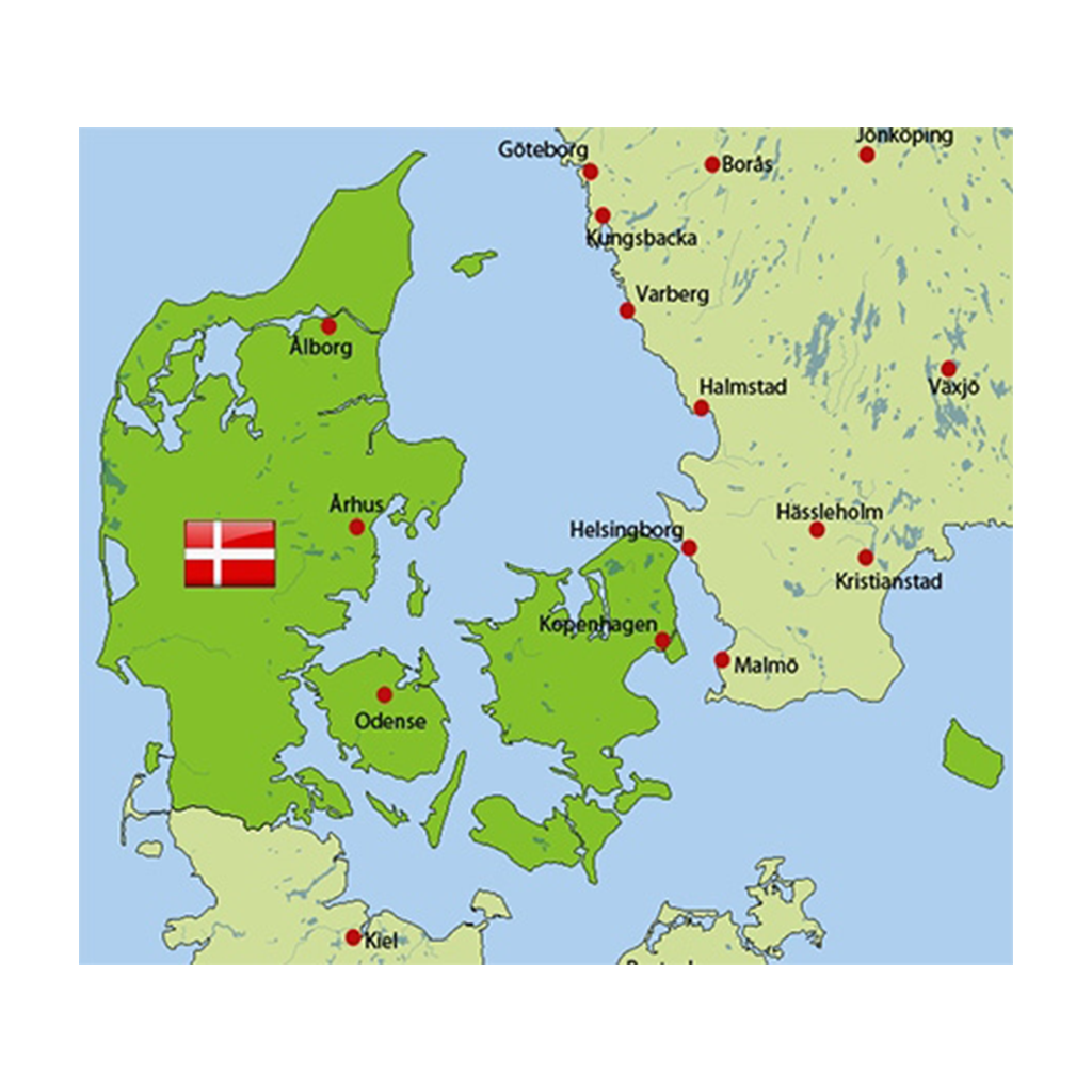
Coverage includes digital topographic maps for Denmark.


 Kuumakse al.