Kirjeldus
Detailed tourist map of the Czech Republic with active routing in the form of a voucher for direct download of the map to a compatible* device.
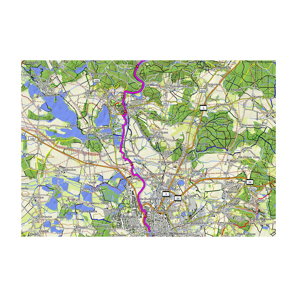
– Coverage of the entire territory of the Czech Republic with topographic data on a scale of 1:10,000
– Active routing with calculation of the most suitable route according to the type of outdoor activity chosen (offers more routes distinguished by color according to the type of activity: e.g. for pedestrians, cyclists, etc.) – Navigation
by road network with a total length of more than 355,000 km, more than 58,000 km of hiking trails and footpaths and more than 43,000 km of cycle paths and bike paths – More than 464,000 searchable points of interest,
including recreational facilities, restaurants, stations and stops, important geographic cities and others
– Compatible with the free BaseCamp ™ application for simple and clear planning of routes and waypoints on a computer and subsequent export to a compatible Garmin device.


 Kuumakse al.